Log in
All resources
Create a design
441 Free Artworks of Maps Of Belgium
engraving
grabados
fondo antiguo
cartography
chalcography
calcografía
cartografía
libros del siglo xvii
17th century books
lodovico guicciardini
maps
city
maps from gallica
maps of antwerp
sanson maps of the netherlands
1670s maps of belgium
maps of bruges by philippe-christian popp
philippe christian popp van schaalkwijk
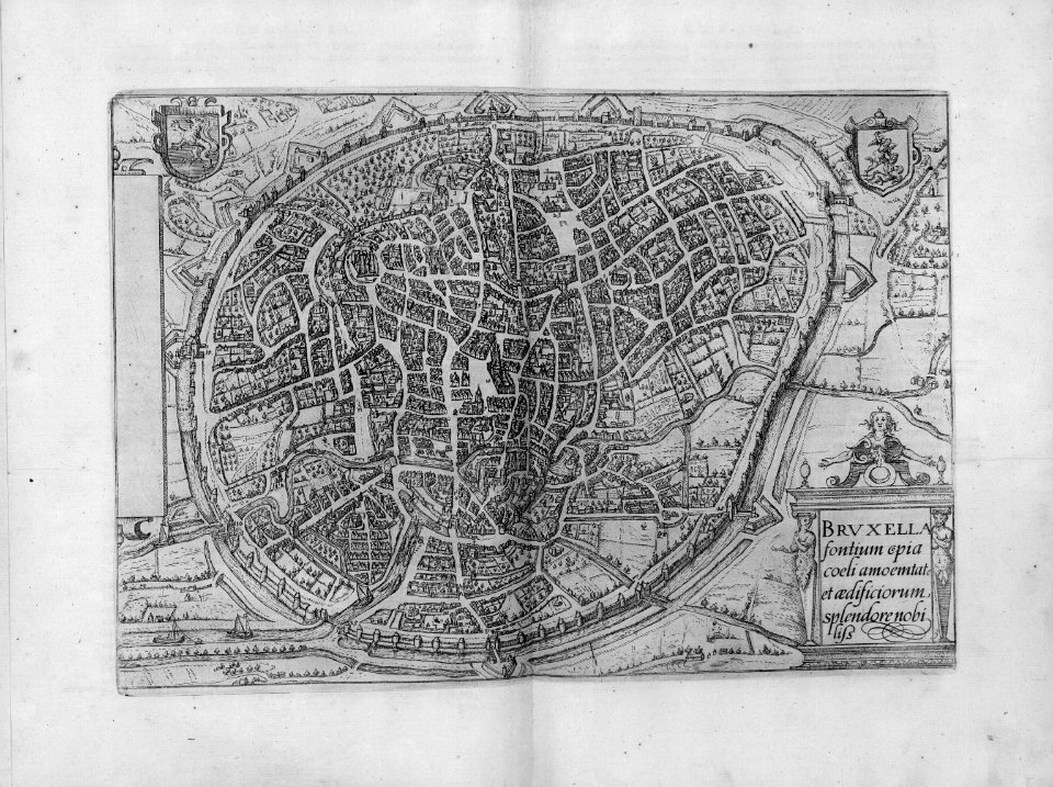
bruxella nobilissima brabantiae civitas an° 1640
maps in the royal library of belgium
cartography
maps
cartography
maps
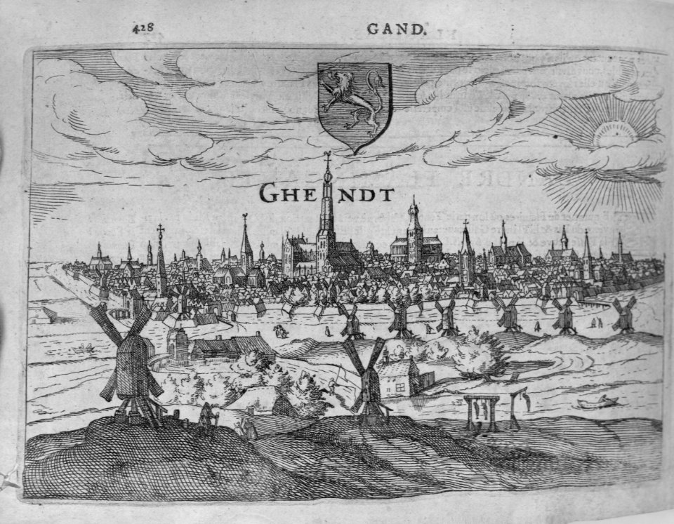
maps of ghent by braun & hogenberg
flandria illustrata
russo-turkish war (1877–1878) in art
great eastern crisis (1875–78)
maps of brussels by braun & hogenberg
bibliothèque nationale de france
cartography
maps
pieter verbiest (ii)
maps from gallica
1640s maps of the netherlands
maps by nicolaes visscher i
cartography
maps
cartography
maps
cartography
maps
cartography
maps
cartography
maps
cartography
maps
cartography
maps
cartography
maps
maps of bruges by braun & hogenberg
bibliothèque nationale de france
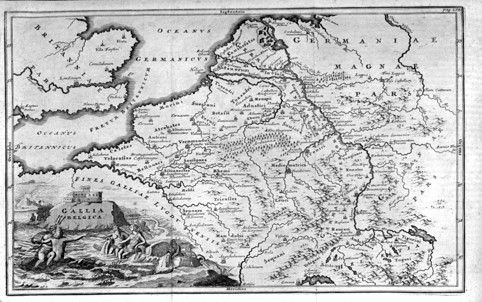
old maps of brabant
1666 in belgium
maps of ghent by braun & hogenberg
bibliothèque nationale de france
old maps of brabant
1666 in belgium
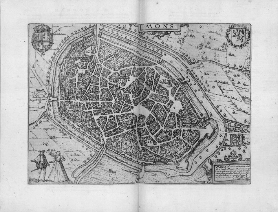
maps of mons (hainaut) by braun & hogenberg
maps of arras by braun & hogenberg
maps of antwerp by braun & hogenberg
bibliothèque nationale de france
maps of kortrijk city walls
history of kortrijk
cartography
maps
cartography
maps
cartography
maps
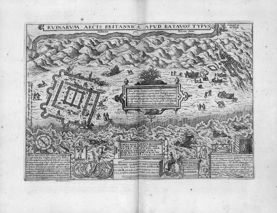
spanjaardenkasteel
old maps of ghent
cartography
maps
cartography
maps
cartography
maps
cartography
maps
cartography
maps
cartography
maps
cartography
maps
cartography
maps
cartography
maps
cartography
maps
cartography
maps
cartography
maps
cartography
maps
cartography
maps
cartography
maps
cartography
maps
cartography
maps
cartography
maps
cartography
maps
old maps of nijmegen
hendrik feltman
cartography
maps
cartography
maps
cartography
maps
cartography
maps
cartography
maps
cartography
maps
cartography
maps
cartography
maps
cartography
maps
cartography
maps
cartography
maps
cartography
maps
cartography
maps
hollandsche ijzeren spoorweg-maatschappij
willem christiaan brade
maps of brussels by braun & hogenberg
bibliothèque nationale de france
cartography
maps
cartography
maps
cartography
maps
maps
city
cartography
maps
cartography
maps
cartography
maps
cartography
maps
cartography
maps
cartography
maps
cartography
maps
cartography
maps
maps
city
maps
city
maps of ghent by braun & hogenberg
bibliothèque nationale de france
atlas ou representation du monde universel t. 1 (1633)
1630s maps of belgium
cartography
maps
cartography
maps
maps
city
maps
city
arts and crafts movement
maps of fictional europe
cartography
maps
cartography
maps
maps
city
maps
city
maps
city
maps
city
cartography
maps
cartography
maps
maps
city
cartography
maps
cartography
maps
cartography
maps
201 - 300 of 441
Next page
/ 5


![Gerardi Mercatoris and I. Hondii Atlas or Representation of the Universal World, and of the Parts of It, Made in Tables and Descriptions Very Ample, and Exact: Divided into Two Volumes [...]. [t. 1].](https://cdn.creazilla.com/illustrations/10001587999/gerardi-mercatoris-and-i-hondii-atlas-or-representation-of-the-universal-world-and-of-the-parts-of-it-made-in-tables-and-descriptions-very-ample-and-exact-divided-into-two-volumes-t-1-sm.webp)